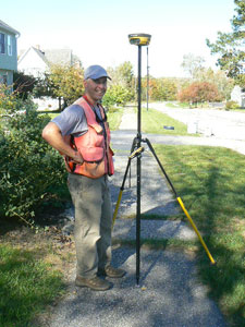
GPS allows us to horizontally place our projects on a variety of coordinate systems, such as Maine State Plane, Universal Transverse Mercator, and Geographic (Latitude & Longitude) projected systems.
Pertaining to vertical elevations, we can provide data on either the National Geodetic Vertical Datum of 1929 or the North American Vertical Datum of 1988. With greater efficiency and productivity, we offer competitive rates without sacrificing the high quality service and care our clients have come to expect.
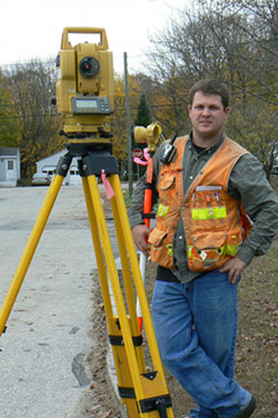
In addition, it is often a municipal requirement for development projects to be placed on the above noted Maine State Plane Coordinate System. We offer this service to both our clients and colleagues. Our project experience is vast and includes service or support for aerial control mapping, as-built commercial and residential developments, cellular towers, cemeteries, construction layout and control, gravel pits, rights of way, stockpiles, storm water drainage, topographic surveys, FEMA submissions, utility infrastructure, and wetlands mapping.
Using continuous centimeter-level accuracy with ground augmentations, highly accurate surveying and mapping results can be rapidly obtained, thereby significantly reducing the amount of equipment and labor hours that are normally required of other conventional surveying and mapping techniques. Being able to work in diverse conditions, with more accuracy and efficiency, while working in accordance with private and public agencies, gives our clients timely and valuable information to make informed decisions.
–Mark
GIS is often a misunderstood technology since the degree of accuracy can vary due to the accuracy of the underlying technology implemented for data collection. Our technical and professional experience in both land surveying and GIS provides our clients with a clear and concise understanding of accuracy and level of recommended usage. For example, GIS should not be used for the computation of accurate numbers such as areas, building setbacks, or computations for design layout, but it has become an extremely valuable tool for the merging of data into specific layers best used for planning and conceptual designs. The setting of significant figures within the GIS software will often give a false sense of high accuracy.
GIS is a wonderful resource for comparison and display of many forms of geospatial data located in the same general area, but accurate field measurement remains the best method to remove numerical inaccuracies. Please feel free to call should you have any questions pertaining to GIS.
Project experience includes utility right of way and analysis, environmental remediation, site analysis, storm water and sewer conveyance mapping, pavement management, watershed analysis, and solutions for the needs of a municipality or governmental body.
–Brian